Map of the spur (the image is a little small. Click on it for larger image)
Legend:
- south end of the trail
- informal path and remnant track
- crossing at Lawrence Avenue East
- crossing at Tallwood Park
- crossing at Bond Road
- north end of trail
- York Mills Road
Starting just north of Eglinton Ave. East, just east of Leslie Street is a little known railpath which was once known as the Leaside spur. It starts just north of Eglinton, crosses Lawrence Ave. East and ends just south of York Mills. It once served the industrial area of south Don Mills and also served as an important cross link between the CP tracks to the south and the CN tracks to the north. In 2003 the city bought the right-of-way and turned into a walking trail. However, it is of little use as it starts and ends nowhere.
Up until now it has seen little use other than the occasional neighbourhood dog walker. But recently it has been resurrected as a possible part of the mayor's vision to create a city wide network of off-road trails.
A
recent article in Grid TO prompted me to go take a look for myself. Here is what I found. From the southern start north to Bond Road the trail has been covered with a new layer of gravel, likely in preparation for a layer of asphalt. There are three places where it intersects with existing trails and circles of brick have been placed there to demarcate the crossing. At Lawrence Ave. East a new signalled crossing has been constructed although it is not yet in operation.
The new trail construction ends at Bond Road.
North of this point the trail continues but it is in the same state as the original walking trail. It is still covered in loose stone and cinder block that makes walking difficult let alone cycling. The trail ends again where it meets the CN main line just where it leaves the Don Valley on its way north to Richmond Hill.
There's more to this story than just these pictures. In a second installment I'll look at planned and proposed uses for this trail.

South end of trail (#1). Beyond fence is CP rail main line that crosses Eglinton Ave. East just east of Leslie St.

Informal trail leads to one of the properties on Leslie Street. The trail continues on the other side of the tracks

Just north of the informal trail you can see a remnant of an old spur (#2)

Last remaining track beside warehouse that is now used by Canadian Tire.

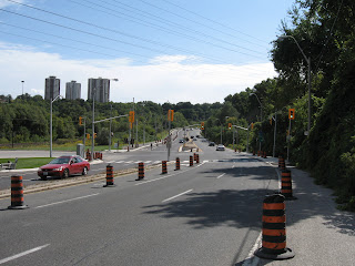
New crossing at Lawrence Ave. East under construction (#3)

Trail intersects with another path (#4) that leads to Talwood Park (to the west) and Duncairn Park (to the east)

New surfacing to end at Bond Road (#5)

Trail continues north of Bond Road. Note loose gravel surface that was hard to walk or ride on

North end of rail path (#6). Beyond is the CN rail main line

York Mills bridge across tracks can be seen to the north (#7)


